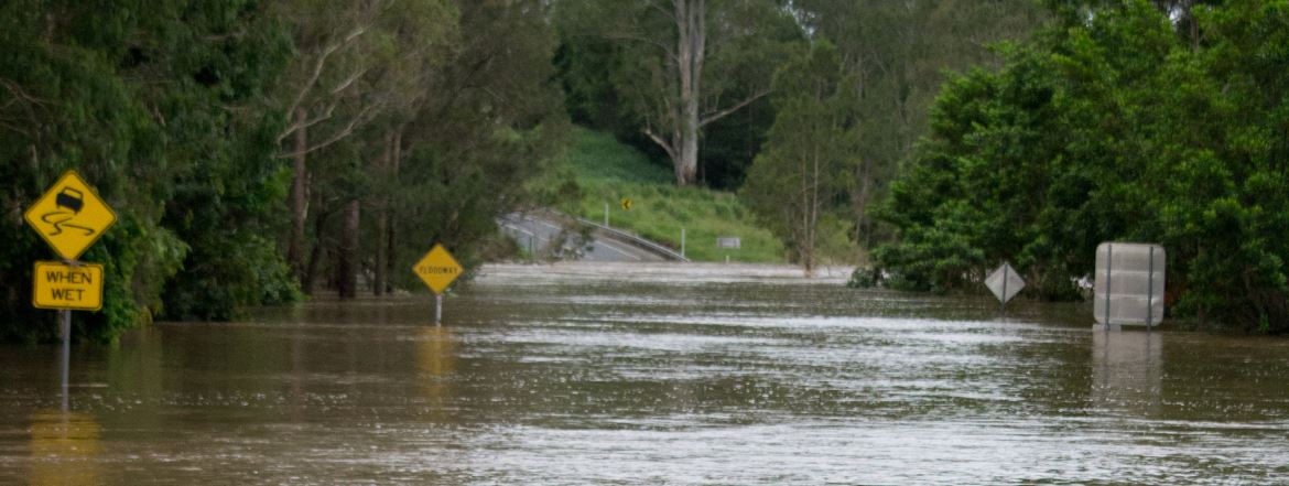
The FloodMap map service provides emergency services personnel with an online map application to help in the management of floods over Australia. Datasets recent and archival flooding, DEM, hydrology and infrastructure layers, and other useful map layers.